The Marina Porto Antico staff reveals the secrets of chartwork to keep you on course during your voyage
 The holiday season is approaching. In every port, from our Marina Porto Antico or any tourist harbor, passionate sailors are preparing their boats for the great summer cruise for the miles and miles they plan to cover in a few days.
All necessary maintenance after the winter break is almost complete, and during some Sunday outings, they have regained their touch on the finer adjustments, as if they had never stopped sailing all this time.
Only there at the chart table do some uncertainties, amnesia, or, let’s admit it frankly, lack of that continuous practice that helps to fully assimilate the subject, lurk. On a day trip with friends or in a club regatta, what’s the use of taking into account the “declination”? We therefore realize that we are indeed out of practice.
 We are perfectly aware that if we want to prevent trouble, chartwork is important on long crossings and perhaps it is useful to practice it even for simple coastal navigation. Here’s where a good review certainly doesn’t hurt, indeed, it helps to consolidate the charismatic figure of those who then claim to “command” a boat.
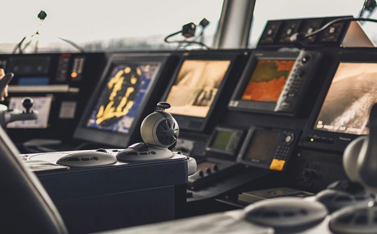
Today, in the third millennium, we are surrounded by electronics everywhere, in the office, at home, and naturally on the boat, so talking about traditional chartwork may seem anachronistic, but, in addition to the inevitable blackout of the onboard electrical system, relying solely on electronics is equivalent to assigning a calculator to a child without having taught them to count or memorize multiplication tables.
 The invitation to review the theoretical notions of chartwork is perfectly in line with the program for obtaining the “unlimited license”, where it had even come to requiring aspiring “commanders” to possess knowledge of astronomical navigation and therefore the use of the sextant.
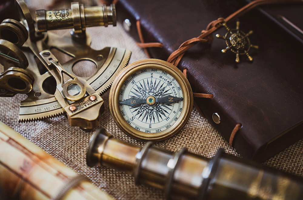
We believe this is a bit exaggerated, even if this ancient instrument retains great charm and those who possess the ability to use it deserve particular respect. For all other common mortals, however, who at most travel up and down the home coasts or the usual crossing to reach the island opposite, it will be sufficient to know the techniques of correct navigation, predominantly coastal, and have an excellent compass if sometimes the route becomes offshore.
 In the first case, the crew mainly uses sight and hearing to determine their position and course. And the only one on board who has had “skipper” or “commander” embroidered on their cap will have to take into account conspicuous points and signaling means when there is suitable visibility or will listen to and interpret sound signals in case of fog or dense mist.
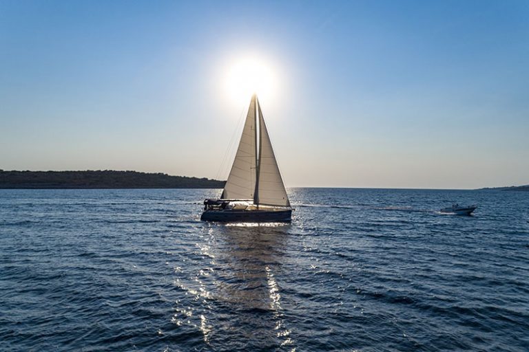
The so-called offshore navigation occurs when all around the boat you see only sea, and then you are obliged to resort to calculations on direction and distance traveled, evaluating the presence of any drift or surface currents. Here, despite the brand new “chart plotter” or the new “GPS” model, on the chart table or nearby, we must have the essential objects to perform correct nautical chartwork.
 We will be equipped with all the nautical charts of the area, which must be constantly updated, deriving the data reported from the “nautical publications” which will include the volumes, always pertinent to the area, of the “Mediterranean Pilot” as well as “The List of Lights and Fog Signals”. An indispensable onboard instrument for correct coastal navigation will be the hand bearing compass, that is, the portable one that will allow us to determine the angle, with respect to North, of a conspicuous point on the coast (peak, bell tower, lighthouse).
The binoculars are part of the mandatory safety equipment and are essential for spotting what surrounds us. Remember that overly powerful binoculars suffer from vibrations or make reconnaissance impossible with slightly rough seas, so generally the classic 7×50 is the ideal instrument recommended for this function.
 In English it’s called a log while in Italian it’s commonly called a speedometer or log, that is, the speed indicator and at the same time the distance traveled meter. I don’t think the manual sounding line exists anymore and you’ll find it displayed in museum showcases since now all boats have a modern “echo sounder” that detects in feet or meters how much water remains under the hull before touching the bottom.
To complete the chartwork equipment, the following are essential: a pair of dividers, two triangles or parallel rulers, which we suggest replacing with the very convenient Breton plotter (note, frowned upon by examination boards) with which all route plotting problems are solved. One or two soft-tipped pencils, an eraser, and a notepad complete the navigator’s set.
 And now? Dig out that book you used to prepare for the license exam, blow off the dust, and practice, practice, practice. When you are certain you have assimilated the procedure, experiment with it practically. Are you on a cruise with friends and have started the crossing to Sardinia or Croatia? Go to the chart table and plot the course on the nautical chart. Come out triumphantly and set the autopilot to navigate in that direction, betting with friends that you’ll make a perfect landfall.
If it goes well, you’ll earn the eternal respect of the crew; otherwise, immediately offer to pay for dinner, which you probably had to offer anyway, and they’ll likely forget that venial error you might have made.