
Genoa always has something to offer to visitors who decide to moor at the berths of our Marina Porto Antico tourist port. From here, in the heart of the historic center, it is easy to walk to all the main attractions of the city, to visit the best of
The history of the historic aqueduct of Genoa
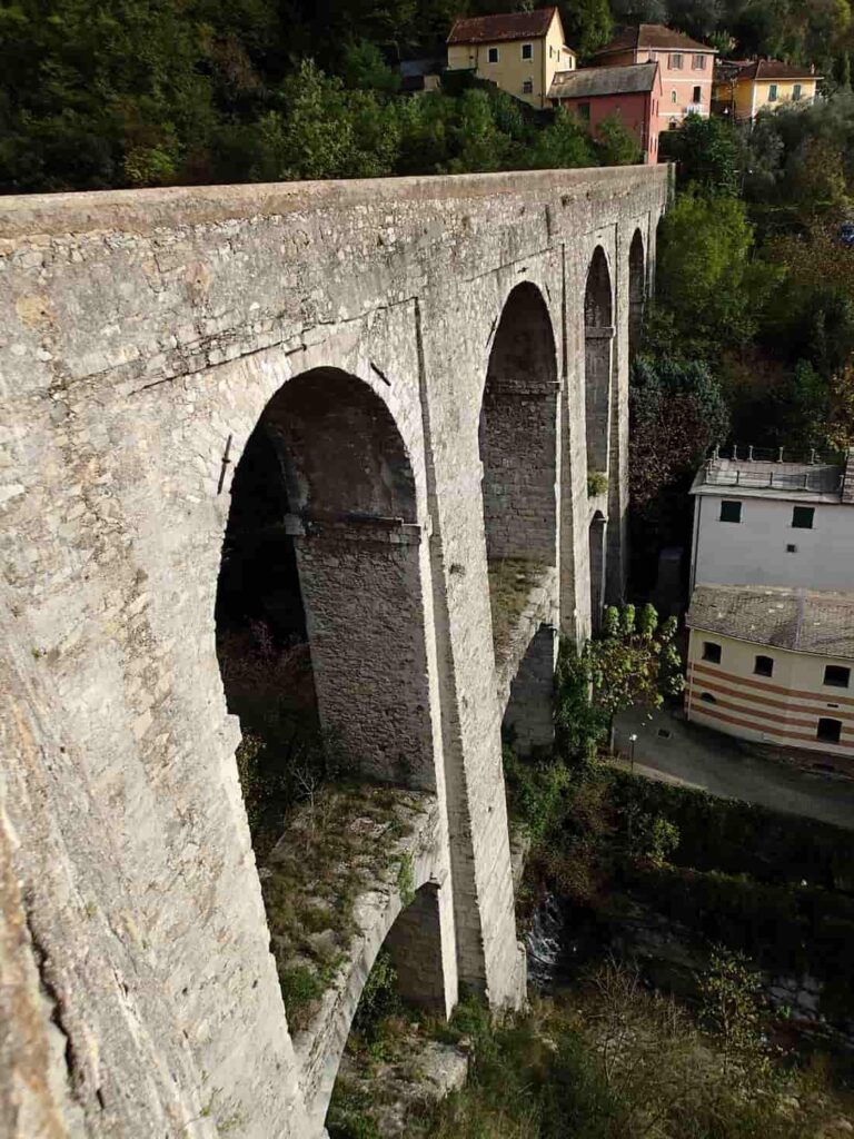 When referring to the historic aqueduct of Genoa, it is about a particular waterway, that crosses the entire Val Bisagno to connect to the port of Genoa. It was built in Roman times to bring water to the city, starting from the valley floor created by the Bisagno stream. In medieval times it was expanded and elevated to serve the western districts as well: it officially remained in operation until the mid-19th century, but in reality, it continued to bring water downstream for quite some time. The last drop reached the Molo district in 1951.
The overall route of the ancient aqueduct of Genoa covered 40 kilometers, reaching right here, a few meters from the berths of our tourist marina. Today, some parts of the aqueduct no longer exist, absorbed by urban development. Despite this, the historic aqueduct of Genoa has transformed into an interesting pedestrian path, crossing villages, woods, various engineering masterpieces, and lively neighborhoods, with points of great architectural, cultural, and natural interest.
The route of the historic aqueduct of Genoa
Those who want to venture on the walk along the old route of the historic aqueduct of Genoa, among bridges and arches, can choose different starting and ending points, depending on the kilometers they wish to cover and the time available.
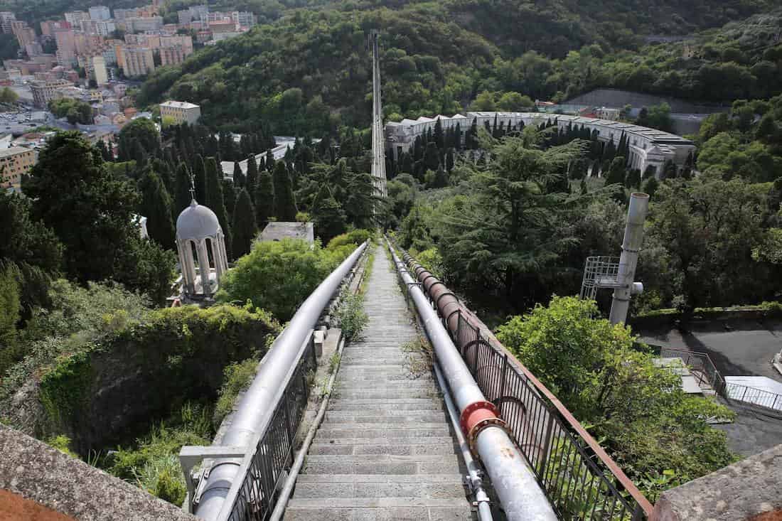 The complete route starts in the upper Val Bisagno, in the locality of Cassolo. Those starting from here set off between the districts of Prato and Struppa, with the possibility of making a small detour to discover the
Are you planning a boat visit to Genoa? Use our online mooring reservation service to reserve a berth at the Marina Porto Antico of Genoa!
Images provided by https://www.visitgenoa.it